


English (en-gb)
|
No |
Bachelor degree domain |
Study program |
Duration/no. Credits |
Budget seats |
Places fee |
Admission criteria |
|
1 |
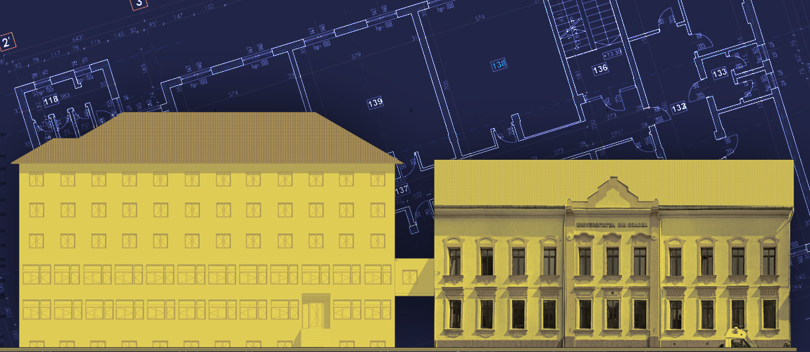
Civil Engineering |
Civil, industrial and agricultural constructions |
4 years 240 credits |
0 |
13 |
Baccalaureate exam average In case of equal averages, the tiebreaker shall be made taking into account: - the grade obtained in Mathematics at the baccalaureate exam, - the certificate obtained in the test "Assessment of digital competences" at the baccalaureate exam. |
|
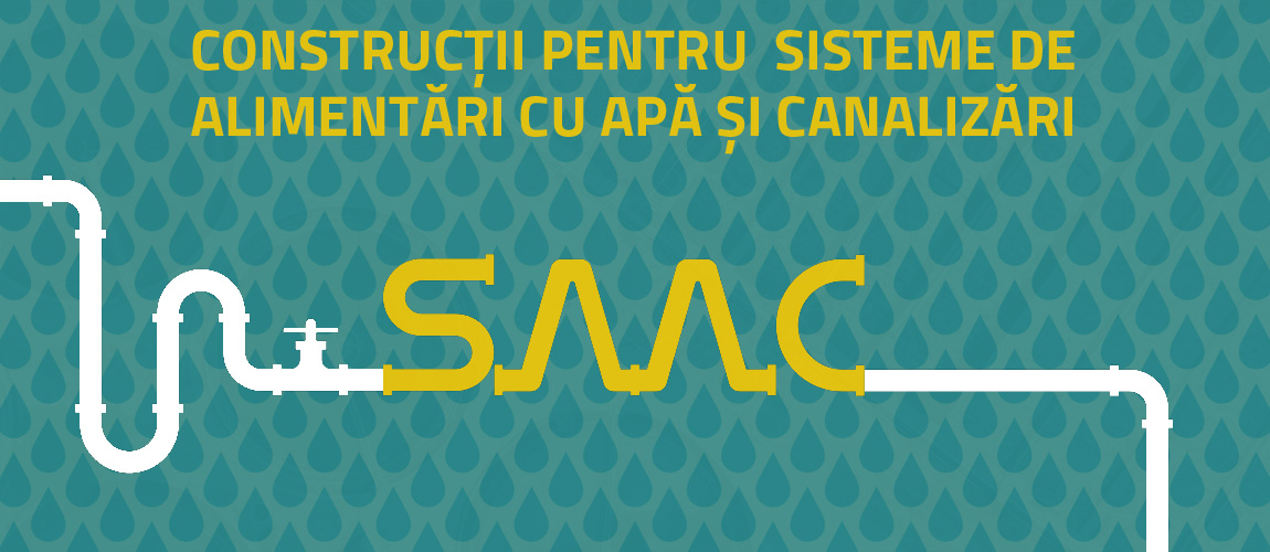
Construction for water supply and sewerage systems |
6 |
39 |
||||
|
2 |
Geodetic Engineering |
Land measurements and cadastre |
0 |
17 |
||
|
3. |
Architecture |
Architecture |
6 or 360 credits |
10 |
12 |
Test 1: Free drawing – elimination test (pass/fail – marking: 40% of the final average) Test 2: Technical drawing* (40% of the final average), Test 3: Portfolio of papers (admitted / rejected), Average at the baccalaureate exam (20% of the final average). *The candidate who obtained the grade admitted to the elimination tests - portfolio and free drawing - and the minimum mark 5 (five) in the marked tests is declared admitted (in order of the average obtained and within the limits of available places). In case of equal averages, the tiebreaker will be made taking into account: the first mark from the baccalaureate exam. |
Admission for foreign students
https://www.uoradea.ro/Foreign%20Students?structure=3
February 20, 2023 – February 24, 2023: second session of examinations (1 week)